Reality capture by EarthByte Lab
One flight. The whole place, live in 3D.
We fly the site, our AI builds a photoreal model, and you share it as one link that opens on any device.
Two products
Choose the ground to cover.
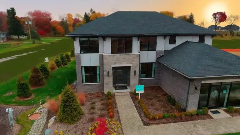
Real Estate
Homes, lots and whole communities that buyers explore from any angle and walk at ground level. Measurements and highlighted areas are prepared for each project and delivered with the model.
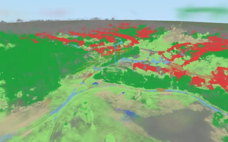
Power Line Scan
A corridor scene with a classified view of vegetation, buildings, roads, poles and conductors, fitted wires, and clearance screening against a threshold you set.
Touchdown
Stand in the data.
A model home inside and out, a whole community, a single lot. Each from one drone flight: photoreal, walkable, shareable by link.
A furnished model home and its corner lot, inside and out, from one drone flight. Start in the front yard, press Come inside, then move room by room through the first and second floors from the panel, or press Walk to go at your own pace. This is an image-only capture: it is for exploring, and no measurements are quoted from it.
How it works
Fly. Build. Explore.
- 01
Fly
We fly the site, or start from your footage.
A drone orbit of the homes, the lots and the streets around them. For a corridor, one pass along the line. If the flight records GPS, the model gets real-world scale.
- 02
Build
Our AI builds one continuous photoreal model.
The imagery becomes a single model you move through freely, not photographs you hop between. Where GPS exists we anchor scale; on the corridor capture the fit was within 0.04% of true. We then prepare the measurements and layers each project asks for.
- 03
Explore
You share one link.
The model opens on any device from a link on your domain: orbit it, walk it where walk mode is prepared, switch layers on and off, and open it full screen.
Put your site in front of people who have not visited yet.
Tell us about the site. We reply to plan the flight and show you what the model can include.